We wanted to display pulsating circles on a map and save the result in a video. Here is part one, the pulsating circles. The map will come in the next post.
Continue reading “Creating a Bubble Chart Animation with MATLAB”

MATLAB and Python Recipes for Earth Sciences
Martin H. Trauth, University of Potsdam, Germany
We wanted to display pulsating circles on a map and save the result in a video. Here is part one, the pulsating circles. The map will come in the next post.
Continue reading “Creating a Bubble Chart Animation with MATLAB”
The popular online course on data analysis in the geosciences will be taught bilingual for the first time, using the two leading programming languages and development environments MATLAB and Python in parallel on 18–22 September 2023. The course is based on the 5th edition of my books MATLAB Recipes for Earth Science (Springer 2021) and Python Recipes for Earth Sciences (Springer 2022).
Continue reading “56th Online Shortcourse on MATLAB & Python Recipes for Earth Sciences”
A while back I wrote a post about John Aitchison’s Log-Ratio Transformation, Part 1, in the time domain and today Part 2 in the frequency domain. Here’s Part 3 with a MATLAB demonstration of a nice Aitchison example presented in an extended abstract by Pawlowsky-Glahn and Egozcue (2013). Continue reading “MATLAB Example to Illustrate John Aitchison’s Log-Ratio Transformation, Part 3”
A while back I wrote a post about Aitchison’s log-ratio transformation. It was about eliminating the dilution effect of an element 1c on elements 1a and 1b by dividing 1a/1b or log(1a/1b). One can show the effect of the log-ratio transformation also very nicely in the spectral domain. Here is an example. Continue reading “MATLAB Example to Illustrate John Aitchison’s Log-Ratio Transformation, Part 2”
ChatGPT by OpenAI, publicly available as a prototype since November 2022, is an AI-based chatbot. Since then, it has been used by millions of users to answer questions, but also to write entire essays and solve programming problems. Here are a few thoughts on this from me, based on a few simple experiments. Continue reading “ChatGPT in Scientific Writing and Coding”
Now that Twitter has become an unpleasant place due to the takeover by the richest man in the world, the MRES/PRES blog is on Mastodon:
https://fediscience.org/@martinhtrauth
I hope to you see you there, and of course, still here on this blog.
When I was working on the student experiments for the book Signal and Noise in Geosciences (Springer 2021), there was an inexpensive 3D scanner available – right up until that moment when I got the money to actually buy it. The company Hewlett Packard bought the smaller manufacturing company and stopped the production of the cheap scanner. HP was selling much more expensive 3D scanners at that time. Now there is a inexpensive 3D scanner again, the Revopoint MINI, and I just got one. Here are the first results, scanning with the company’s software, then importing, processing and displaying the point cloud with texture with MATLAB. Continue reading “Calculating 3D Point Clouds From 3D Scanning Outputs”


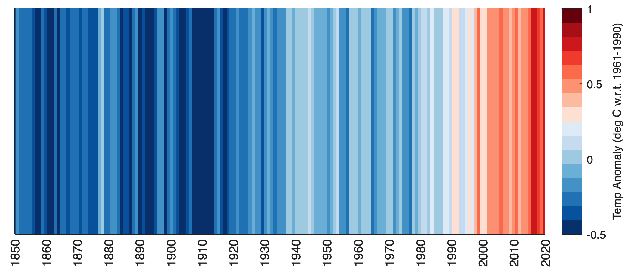
Ed Hawkins, climatologist at U Reading, published a visualization graphics for climate data to display global warming. Here’s a script to display the warming stripes with MATLAB.