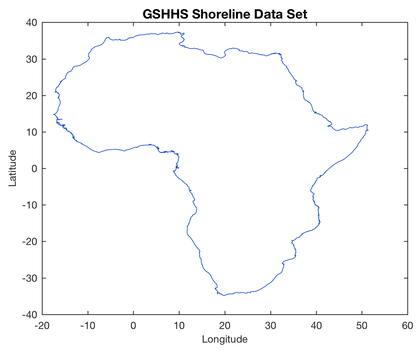
Automated Varve Counting Using A Fuzzy-Logic Algorithm
A fuzzy-logic based algorithm may provide a better way to detect annual sediment layers (varves) in digital images of sediments. Continue reading “Automated Varve Counting Using A Fuzzy-Logic Algorithm”
Determining the Spatial Resolution of the LEGO Ultrasonic Sensor
This exercise is intended to help students to understand how to determine the impulse response sequence and the frequency characteristic of the LEGO ultrasonic sensor. Continue reading “Determining the Spatial Resolution of the LEGO Ultrasonic Sensor”
MATLAB/LEGO MINDSTORMS Exercise #3 Spatial Resolution of the LEGO Ultrasonic Sensor
Quantifying Charcoal in Microscope Images Using MATLAB, Part 1
Quantifying the composition of substances in geosciences, such as the mineral composition of a rock in thin sections, or the amount of charcoal in sieved sediment samples, is facilitated by the use of image processing methods. Thresholding provides a simple solution to segmenting objects within an image that have different coloration or grayscale values. As an example we use thresholding to separate the dark charcoal particles and count the pixels of these particles after segmentation. Continue reading “Quantifying Charcoal in Microscope Images Using MATLAB, Part 1”
Controlling Motors and Read Sensors of LEGO MINDSTORMS with MATLAB
The second MATLAB/LEGO MINDSTORMS exercise is intended to help students to understand how to control motors and to read sensors such as the sonic sensor using MATLAB. Continue reading “Controlling Motors and Read Sensors of LEGO MINDSTORMS with MATLAB”
MATLAB/LEGO MINDSTORMS Exercise #2 Controlling Motors by Sonic Sensor
Communicating with the LEGO MINDSTORMS EV3 Brick using MATLAB
Today, geoinformatics master student Jonas Räsch and I started to design the first MATLAB/LEGO MINDSTORMS exercises for our MATLAB/LEGO MINDSTORMS Environmental Remote Sensing Lab. Continue reading “Communicating with the LEGO MINDSTORMS EV3 Brick using MATLAB”