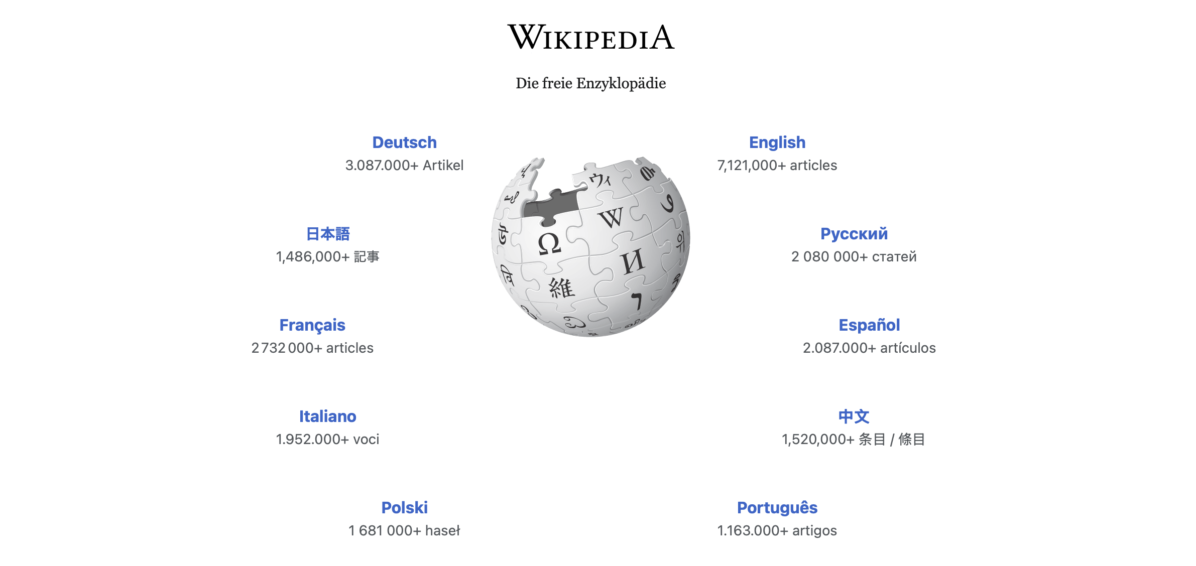
How to Become a Geoscience Data Analyst

Working with quantitative data, which requires sophisticated mathematical and computer-assisted evaluation methods, came very late in the geological sciences, compared to other scientific disciplines. Unfortunately, in many geology courses worldwide university-level mathematics and computational geosciences is not included, as my experience – as the current chair of the examination committee of our geoscience masters program – from processing this year’s masters applications suggests. Continue reading “How to Become a Geoscience Data Analyst”

Displaying Single Pixel Spectra from EnMAP Hyperspectral Images with MATLAB

On April 1, 2022, a satellite was launched as part of the German Environmental Mapping and Analysis Program (EnMAP) to collect hyperspectral data, which can be obtained free of charge. Here is a MATLAB script to import and display the data and display the spectra of single pixels selected from an EnMAP image.

Continue reading “Displaying Single Pixel Spectra from EnMAP Hyperspectral Images with MATLAB”

Displaying Flatfield Spectra from EnMAP Hyperspectral Images with MATLAB

On April 1, 2022, a satellite was launched as part of the German Environmental Mapping and Analysis Program (EnMAP) to collect hyperspectral data, which can be obtained free of charge. Here is a MATLAB script to import and display the data and display the spectra of single pixels selected from an EnMAP image.

Continue reading “Displaying Flatfield Spectra from EnMAP Hyperspectral Images with MATLAB”