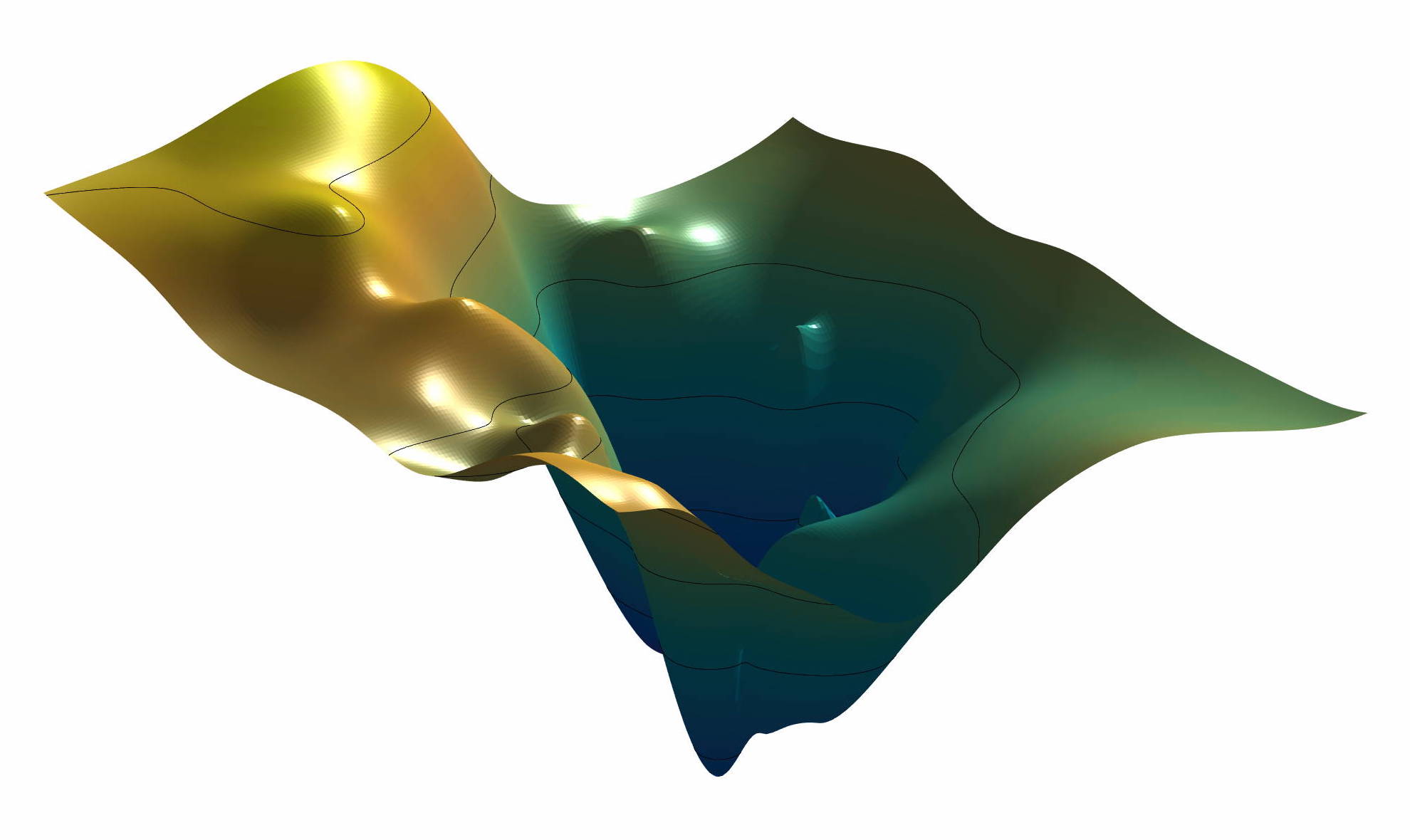
In a series of blog posts, I will tell you a little about how I teach computational geosciences with MATLAB. On the second half of day 4 of the one-week course I teach to import, process, analyze and visualize spatial data. Continue reading “Teaching Computational Geosciences with MATLAB, Part 9: Spatial Data”
Teaching Computational Geosciences with MATLAB, Part 8: Multivariate Statistics
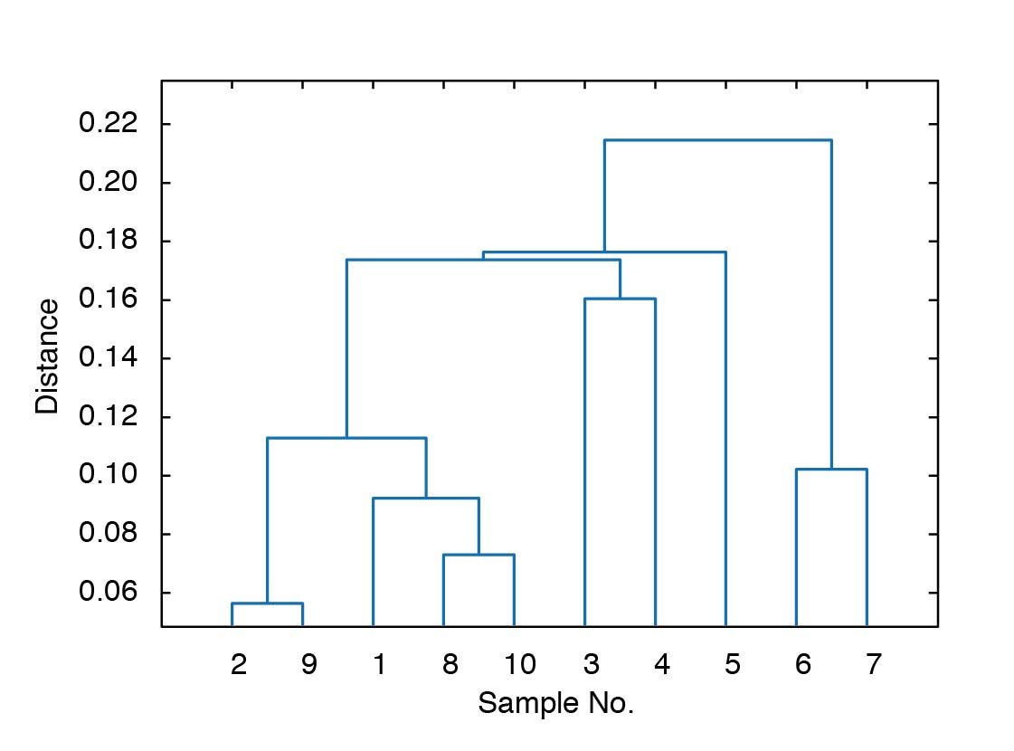
In a series of blog posts, I will tell you a little about how I teach computational geosciences with MATLAB. On the first half of day 4 of the one-week course I teach multivariate statistics. Continue reading “Teaching Computational Geosciences with MATLAB, Part 8: Multivariate Statistics”
Using a Multispectral Array with MATLAB, Part 1
Today I received three more MAPIR Survey2 cameras to built a multispectral array. In addition to the MAPIR Survey2 NDVI Red+NIR (650 and 850 nm) camera using to calculate the the Normalized Difference Vegetation Index (as described in an earlier post) purchased in March I now have the Blue (450 nm), Green (550 nm) and Visible Light RGB (~370–650 nm). We use the four cameras to build a multispectral array, possibly mounted on drones, to determine various types of rocks and minerals on the ground. First experiments and results will be presented here shortly.
Teaching Computational Geosciences with MATLAB, Part 7: Signal Processing
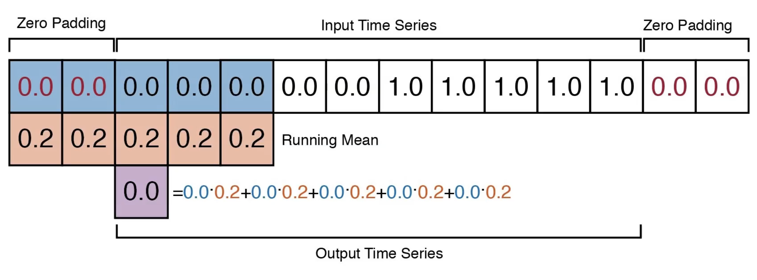
In a series of blog posts, I will tell you a little about how I teach computational geosciences with MATLAB. On the second half of day 3 of the one-week course I teach signal processing. Continue reading “Teaching Computational Geosciences with MATLAB, Part 7: Signal Processing”
Third Chew Bahir Drilling Project Workshop at U Potsdam
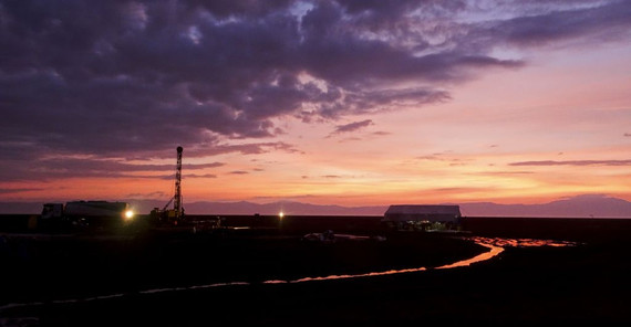
Next week I am hosting the 3rd annual workshop of the Chew Bahir Drilling Project with 35 participants from the Ethiopia, Germany, United Kingdom and United States of America. The project, as part of the international Hominin Sites and Paleolaces Drilling Projects (HSPDP), tries to fill gaps in the environmental history of East Africa, the habitat of early human ancestry. Within the framework of the project, two ~280 m long cores were collected in the Chew Bahir Basin in Southern Ethiopia including the last ~550,000 year history of environmental change in the southern Ethiopian rift were some of the oldest fossils of our own species were discovered. The first results from analyzing these cores will be discussed during the workshop. See press release of the workshop here.
MATLAB Code and Data of “Trends, rhythms and events in Plio-Pleistocene African climate” (Trauth et al., QSR 2009)
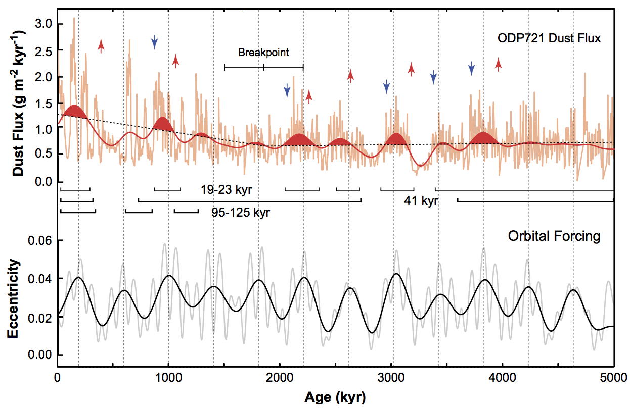
My paper about the time series analysis of published records of terrigenous dust flux from marine sediments together with Juarn C. Larrasoaña and Manfred Mudelsee was surprisingly successful. The paper was published before I started to publish my results together with data and MATLAB code. Since colleagues often asked for the data and code to carry out further analyzes or simply reproduce the figures, I put them both online today. Continue reading “MATLAB Code and Data of “Trends, rhythms and events in Plio-Pleistocene African climate” (Trauth et al., QSR 2009)”
Teaching Computational Geosciences with MATLAB, Part 6: Time-Series Analysis
In a series of blog posts, I will tell you a little about how I teach computational geosciences with MATLAB. On the first half of day 3 of the one-week course I teach time-series analysis. Continue reading “Teaching Computational Geosciences with MATLAB, Part 6: Time-Series Analysis”
Potsdamer Neueste Nachrichten Special Issue Article on the HSPDP Project
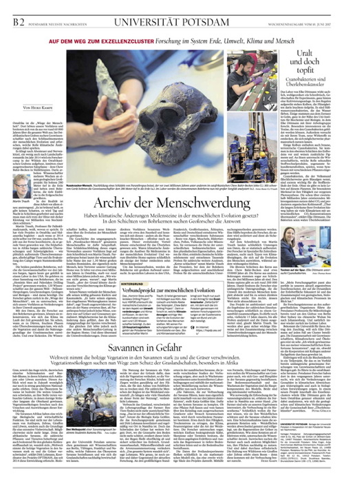
On Saturday 10 June 2017 the Potsdamer Neueste Nachrichten published an article about the Hominin Sites and Paleolakes Drilling Project (HSPDP), after a great interview with science journalist Heike Kampe. The article appeared as part of a special issue about the University of Potsdam. Also the photo on the front page, previously shown on the PORTAL cover, is the one I took in the Suguta Valley, Kenya.

