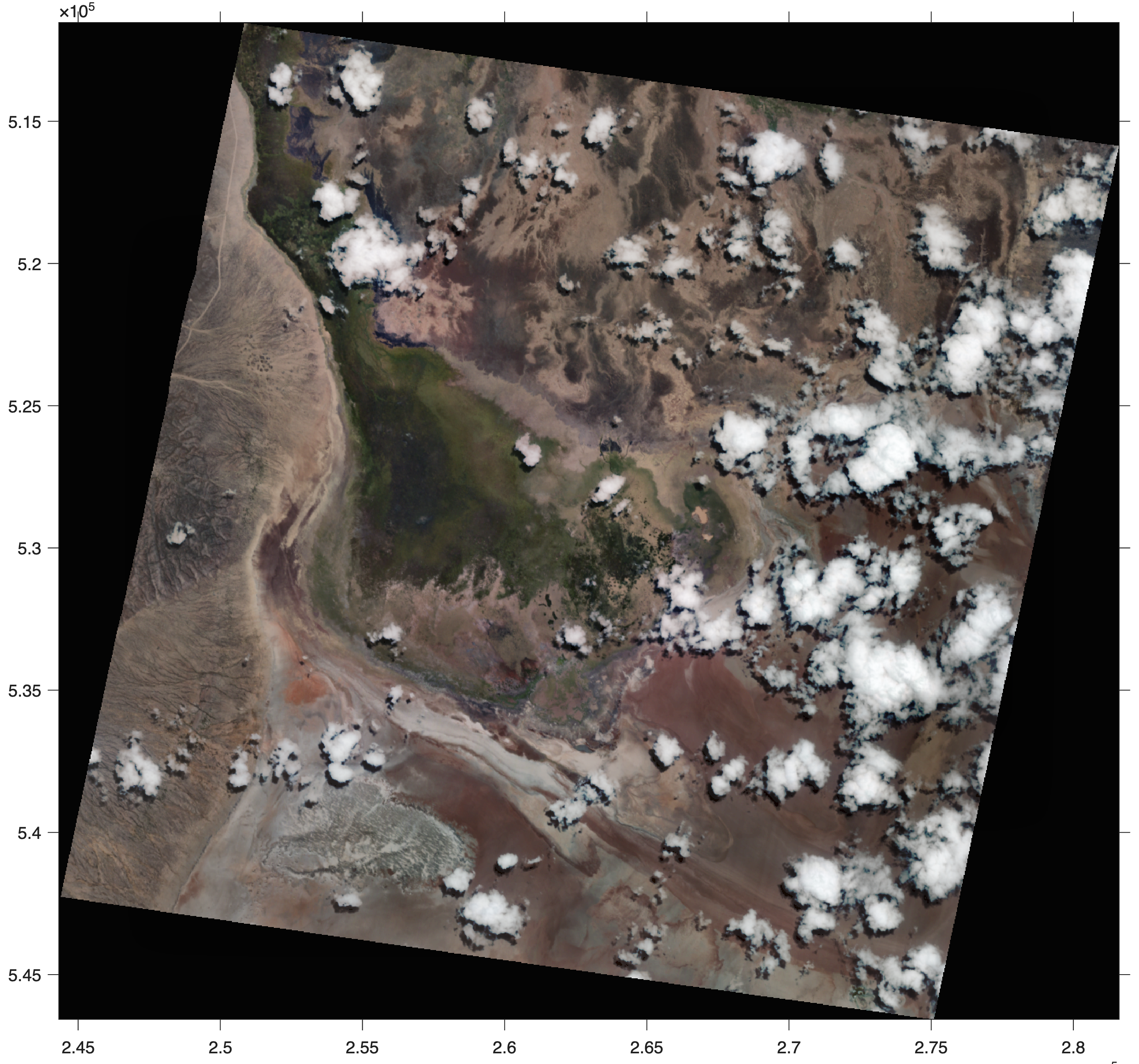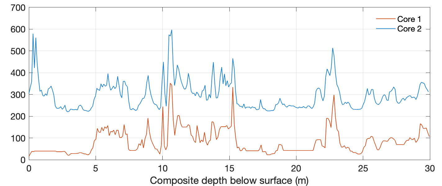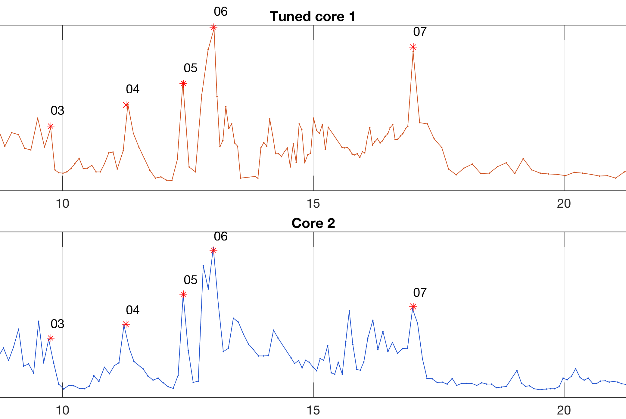
In geological drilling projects, two or more parallel cores often collected in order to compensate for core losses during drilling by overlapping sequences. Correlation of the core is a time-consuming and complex process that is usually done by very experienced geologists. In the Chew Bahir Drilling Project in Ethiopia, as part of the Hominin Sites and Paleolakes Drilling Projects (HSPDP), two parallel, almost 280 m long cores were collected in late 2014. The two cores are correlated using the Correlator software, which is part of the CoreWall package, but we also make experiments using manual and automated correlation using MATLAB. Here I present a script to perform a visual inspection and correlation of two cores using physical properties of the sediment such as the magnetic susceptibility. Continue reading “Stratigraphic Correlation of Multiple Sediment Cores Using MATLAB, Part 1”