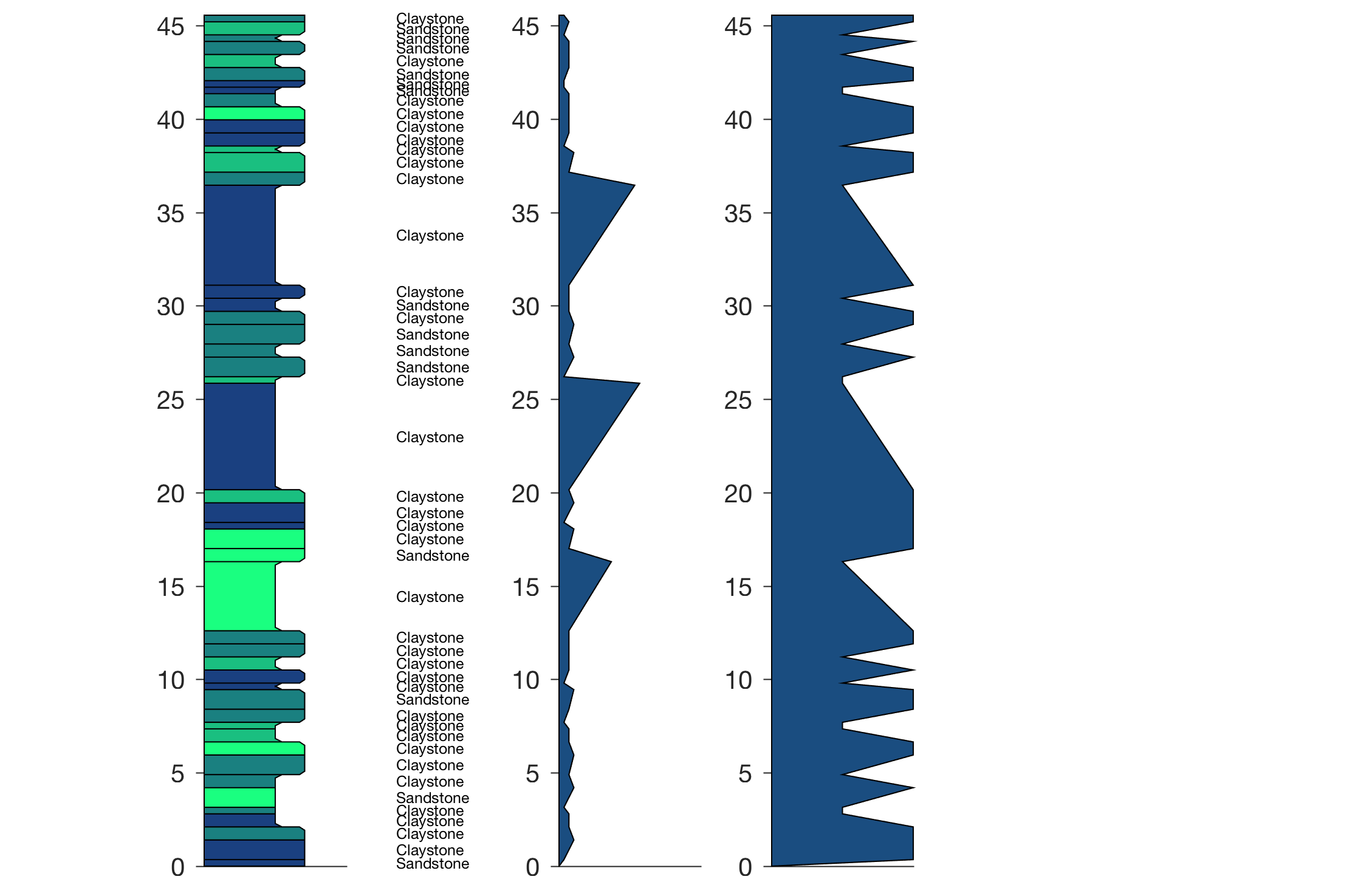
As a geoscientist using MATLAB, about a decade ago I sought a way to draw a stratigraphic column with rounded corners, labels, and a number of data curves. The result of a programming exercise during a rainy Sunday afternoon was the function stratplot, which was subsequently published in Chapter 5.7 of MDRES in the year 2012. Continue reading “Drawing Stratigraphic Columns with MATLAB”
Playing Around with the axes Function of MATLAB
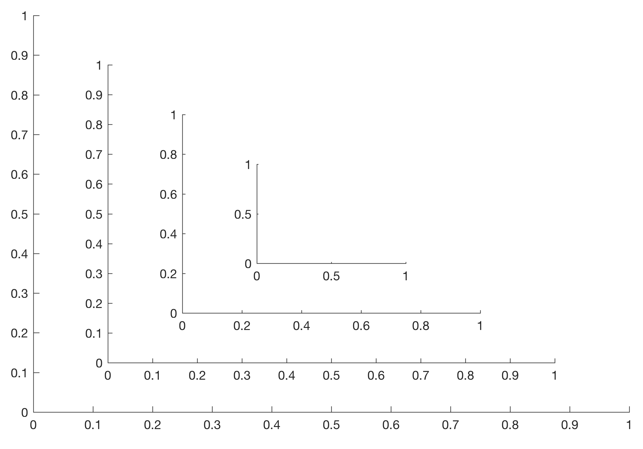
The MATLAB function axes creates a Cartesian axes in the current figure. Many MATLAB users do not use the figure and axes functions because all graphics functions generate a figure window and an axis system. However, the two functions together offer many possibilities to arrange FigureWindows on the display or to place one or more axes on this FigureWindows. Here are some examples that do not even come close to what these functions offer. Continue reading “Playing Around with the axes Function of MATLAB”
Using the new Function heatmap to Display a Distance Matrix in Cluster Analysis
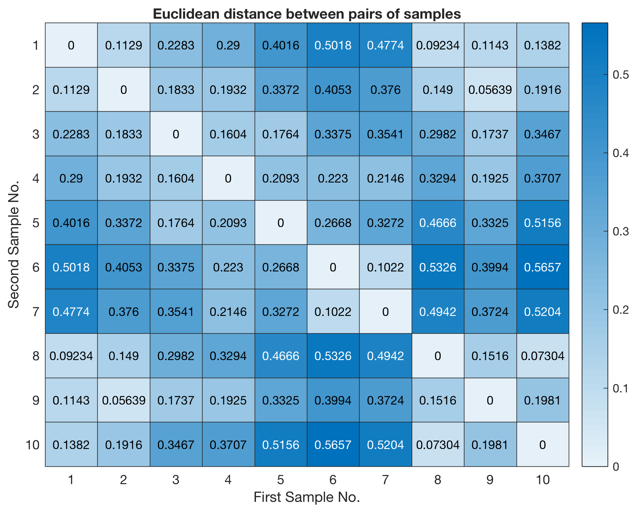
The new function heatmap was released with R2017a, providing a great way of displaying distance matrices in cluster analysis. Here I demonstrate how to modify the script of Chapter 9.5 of MRES. Continue reading “Using the new Function heatmap to Display a Distance Matrix in Cluster Analysis”
MATLAB Expo 2017 Germany on 27 June 2017 in Munich
The MATLAB Expo 2017 Germany, organized by the MathWorks, will take place on 27 June 2017 in the INFINITY Hotel & Conference Resort Munich. With a total of twelve sessions, the MATLAB Expo provides a wonderful forum for both beginners, experienced and expert users to present new applications of MATLAB, to learn about future directions of the software from the developers and to exchange ideas of teaching computational methods with one of the leading fourth generation programming language. Continue reading “MATLAB Expo 2017 Germany on 27 June 2017 in Munich”
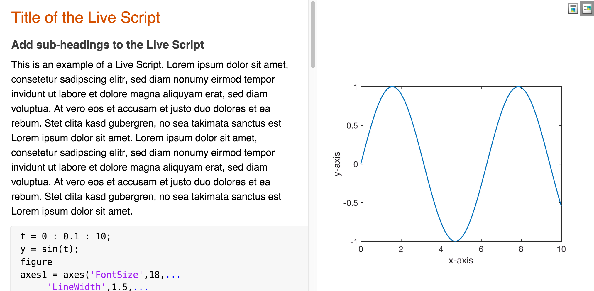
A Year with the new MATLAB Live Editor
The MATLAB Live Editor was introduced about a year ago providing an elegant way to create, edit and run MATLAB code. Using the new editor the results of a MATLAB script are displayed together with the code that produced them. A Live Script can include equations, images, hyperlinks and formatted text, to be shared with others as an interactive document, as the webpage of MathWorks suggests.
Continue reading “A Year with the new MATLAB Live Editor”
Public Lecture on Tectonics, Climate and Human Evolution in Africa
On Saturday 13 May 2017 I will give a public lecture on “Tectonics, Climate and Human Evolution in Africa”. The lecture will be part of the Potsdam Science Day (Potsdamer Tag der Wissenschaften). The lecture takes place in the MPI Central Building in Golm, Seminar Room Z-1.053A / Z-1.052, between 15 and 15:30. Continue reading “Public Lecture on Tectonics, Climate and Human Evolution in Africa”
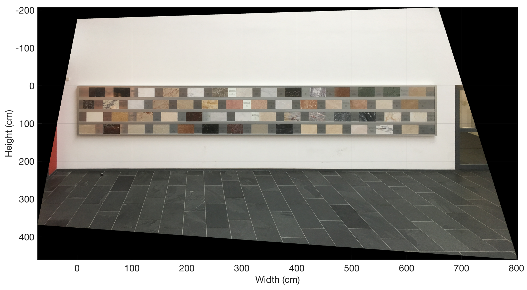
Rectifying and Referencing Images using MATLAB
This exercise is intended to help students to understand how rectify and reference images using MATLAB. Possible applications are outcrop images (with a scale), aerial and satellite images (with reference points). Continue reading “Rectifying and Referencing Images using MATLAB”
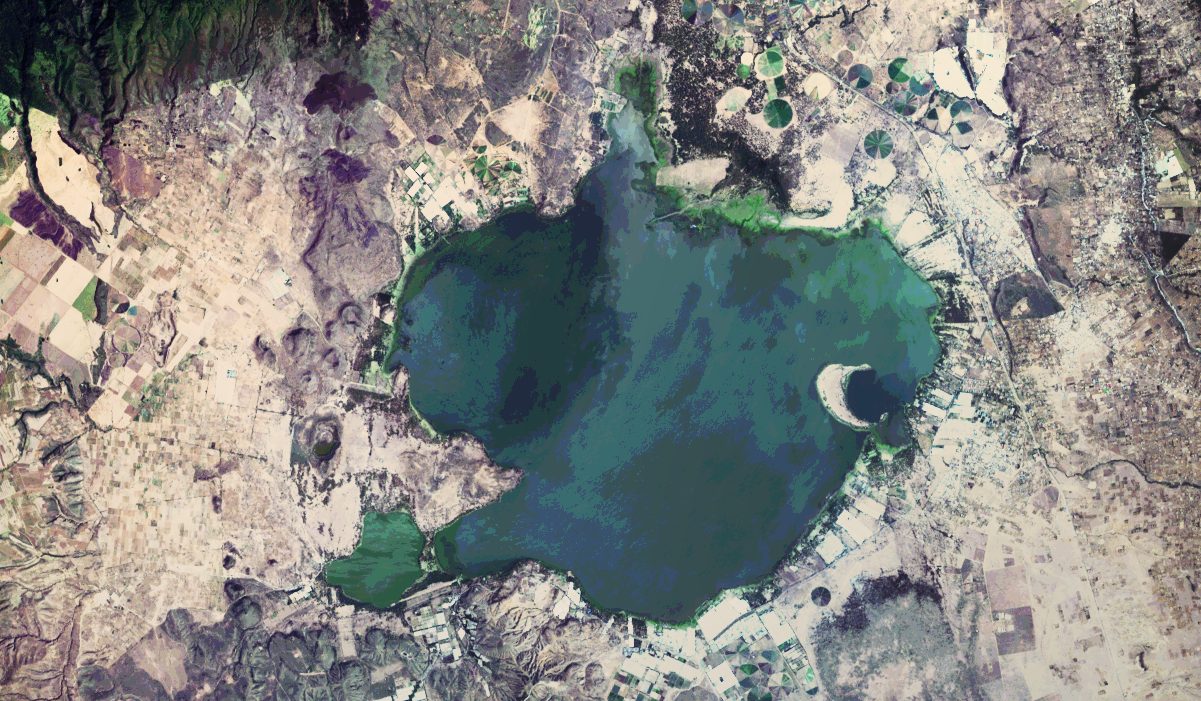
Importing, Processing and Exporting LANDSAT Images with MATLAB
MATLAB is now a widely used tool in satellite remote sensing. Here is an example of importing, processing, and exporting freely-available Landsat images of Lake Naivasha in the Central Kenya Rift. Continue reading “Importing, Processing and Exporting LANDSAT Images with MATLAB”

