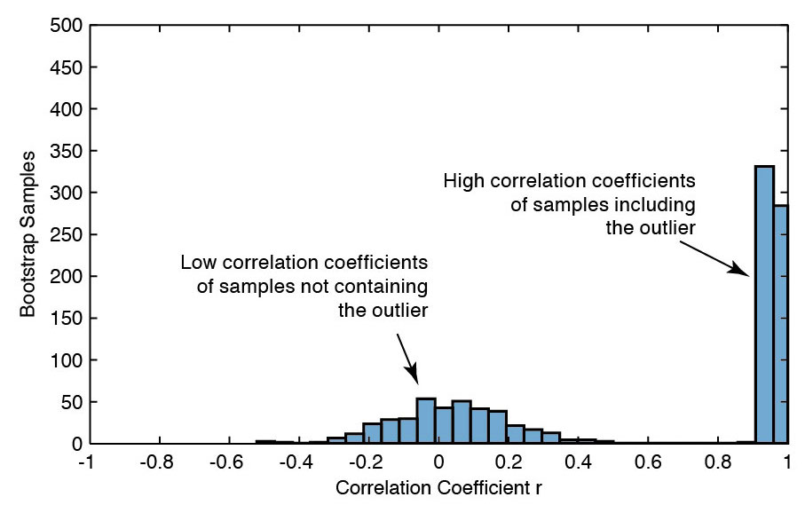
In a series of blog posts, I will tell you a little about how I teach computational geosciences with MATLAB. On the second half of day 2 of the one-week course I teach bivariate statistics. Continue reading “Teaching Computational Geosciences with MATLAB, Part 5: Bivariate Stats”
The Use of SRTM Data to Visualize my Holiday Resort in the Rhine Rift
During our early summer vacation my family and I will spend a few days near Landau in der Pfalz, where I grew up many years ago. The place is a beautiful town located in the Rhine Rift, east of the Pfälzerwald (Palatinate Forest). Here is a MATLAB script to visualize part of the Rhine Rift, similar to the one used to display the digital elevation model of the Kenya Rift, whose exploration I have devoted most of my career to.
Continue reading “The Use of SRTM Data to Visualize my Holiday Resort in the Rhine Rift”
Teaching Computational Geosciences with MATLAB, Part 4: Univariate Stats
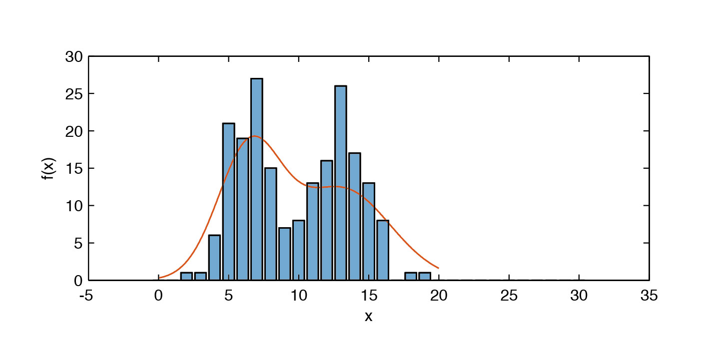
In a series of blog posts, I will tell you a little about how I teach computational geosciences with MATLAB. After the introduction to MATLAB on the first day, I teach univariate statistics in the morning of the second day of the five-day course. Continue reading “Teaching Computational Geosciences with MATLAB, Part 4: Univariate Stats”
Shortcourses on Geoscience Investigations of Point Clouds and Topographic Analysis at U Potsdam
Two shortcourses, partly MATLAB-based, are taught by colleagues of mine within the DFG-funded StRATEGy Research Training Group at the University of Potsdam, together with GFZ, CONICET, U Buenos Aires and U Salta–Jujuy–Tucumán. The first course on “Advancing understanding of geomorphology with topographic analysis emphasizing high resolution topography” is taught by Ramón Arrowsmith, Bodo Bookhagen, Wolfgang Schwanghart and Christopher Crosby between 12–15 June 2017. The second course on “Geoscience Investigations of Point Clouds” is taught by Bodo Bookhagen, Ramón Arrowsmith, Martin Isenburg and Christopher Crosby between 7–9 June 2017.
Teaching Computational Geosciences with MATLAB, Part 3: Intro to MATLAB
In a series of blog posts, I will tell you a little about how I teach computational geosciences with MATLAB. After the work environment is set up and resources are presented with information about MATLAB, I show a very simple example of the typical workflow with MATLAB. The main goal of this is to show beginners how easy it is to get into this huge software.
Continue reading “Teaching Computational Geosciences with MATLAB, Part 3: Intro to MATLAB”
Teaching Computational Geosciences with MATLAB, Part 2: Resources
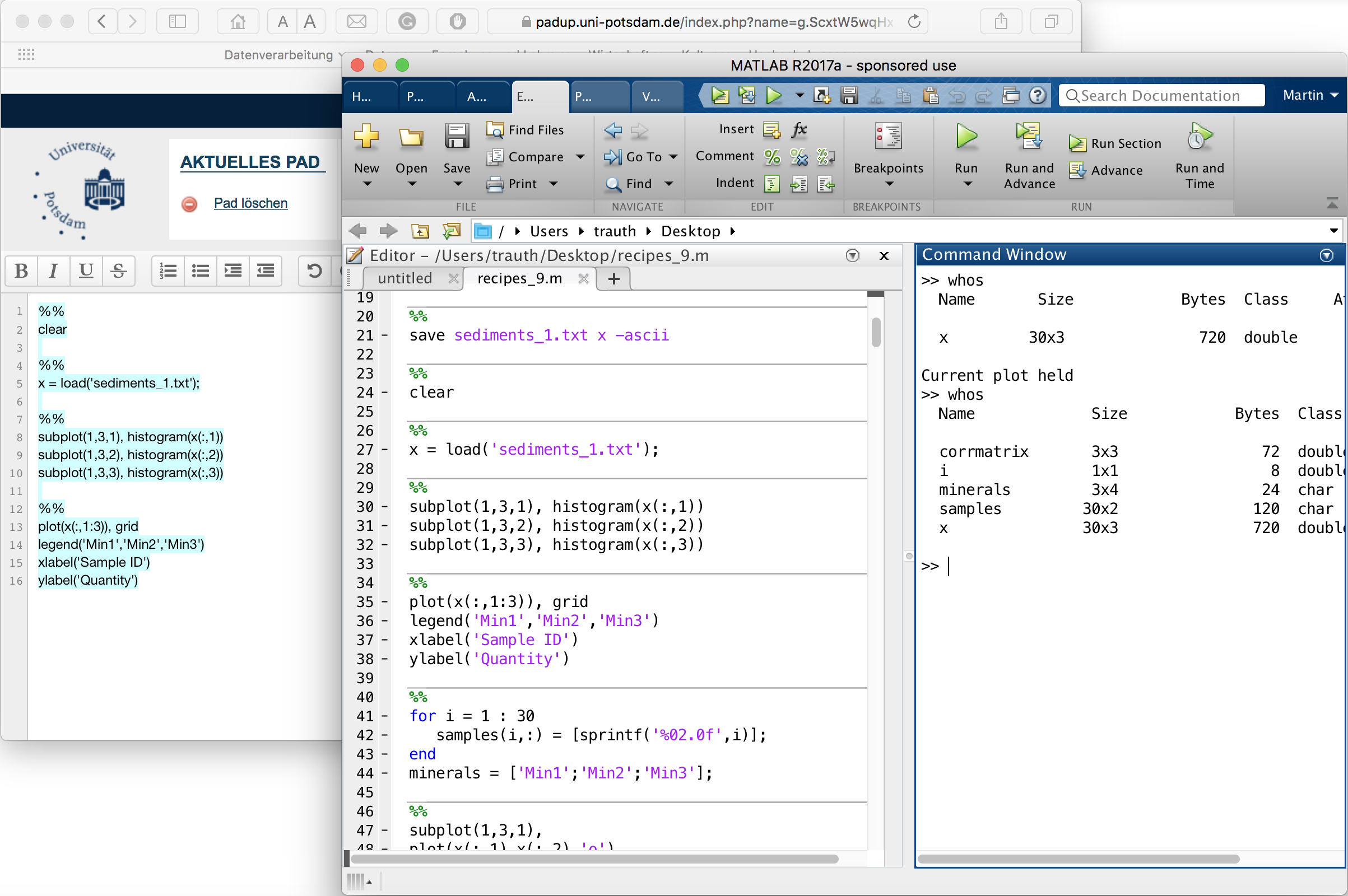
In a series of blog posts, I will tell you a little about how I teach computational geosciences with MATLAB. At the beginning of the course, the work environment is set up in MATLAB and resources are presented with information about MATLAB. Continue reading “Teaching Computational Geosciences with MATLAB, Part 2: Resources”
Teaching Computational Geosciences with MATLAB, Part 1: Technical Aspects
In a series of blog posts, I will tell you a little about how I teach computational geosciences with MATLAB. There will be content, didactic and technical aspects of teaching. Of course, I will also tell you about my experiences in the development of the MATLAB/LEGO MINDSTORMS Environmental Remote Sensing Lab, which we have just finished in a first version. Continue reading “Teaching Computational Geosciences with MATLAB, Part 1: Technical Aspects”
U Potsdam’s Magazin PORTAL Cover Showing Suguta Valley
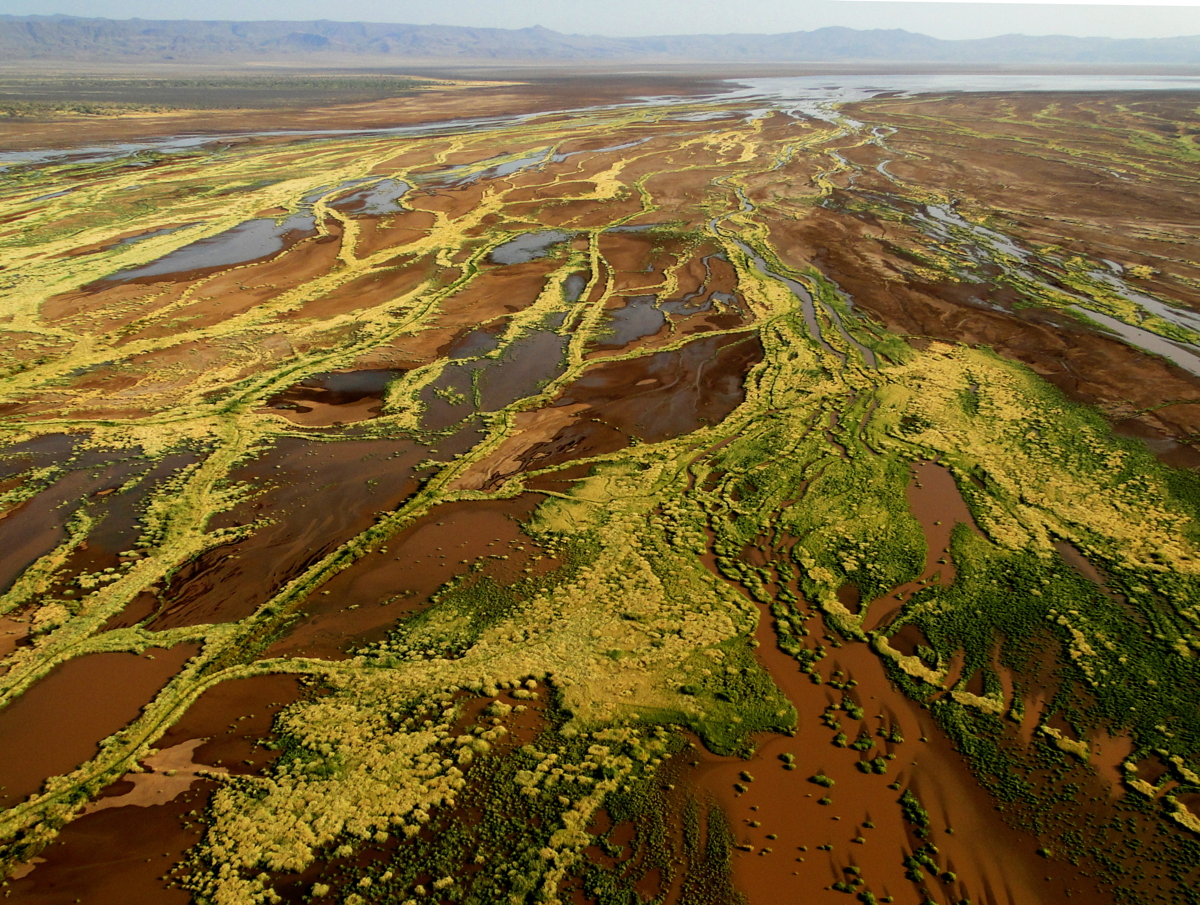
The latest issue of the University of Potsdam’s magazin PORTAL cover shows the Suguta Valley, where I ran DFG-funded project on structural and environmental history of the Suguta Valley in the Northern Kenya Rift between 2007 and 2014. Continue reading “U Potsdam’s Magazin PORTAL Cover Showing Suguta Valley”

