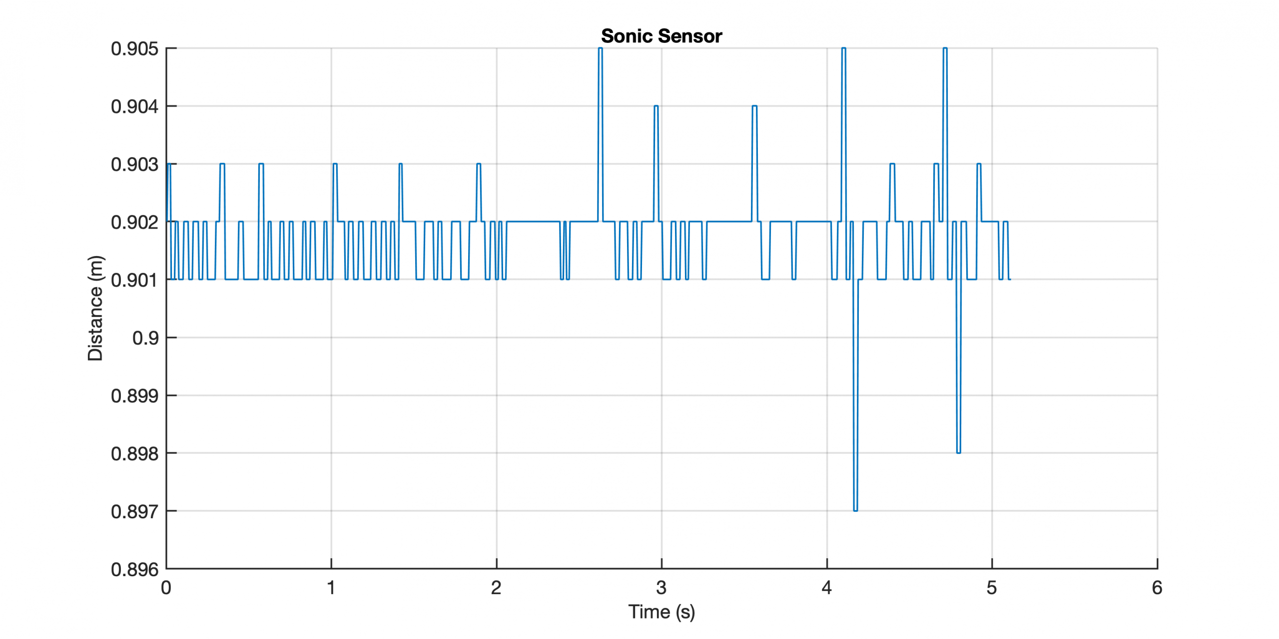
This exercise is intended to help students to understand the difference between accuracy and precision by means of performing multiple measures of distances by using the LEGO MINDSTORMS EV3 Ultrasonic Sensor. In addition, the students should understand in which data format the measurements are recorded, stored and transfered between the sensor and the computer.
MATLAB/LEGO MINDSTORMS Exercise #10 Precision and Accuracy of Ultrasonic Sensors
 Exercise_Precision_accuracy_of_sensor_3
This exercise is intended to help students to understand the difference between accuracy and precision by means of performing multiple measures of distances by using the LEGO MINDSTORMS EV3 Ultrasonic. In addition, the students should understand in which data format the measurements are recorded, stored and transfered between the sensor and the computer. Continue reading “MATLAB/LEGO MINDSTORMS Exercise #10 Precision and Accuracy of Ultrasonic Sensors”
MRES Exercise #7 GPS Tracking using MATLAB Mobile, Part 1
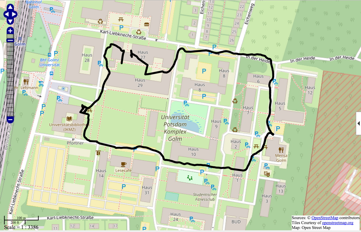
The paperchase exercise is intended to help students to understand how to use sensors of mobile devices connected to a server via MATLAB Mobile. Continue reading “MRES Exercise #7 GPS Tracking using MATLAB Mobile, Part 1”
MATLAB Mobile GPS Paperchase
The paperchase exercise is intended to help students to understand how to use sensors of mobile devices connected to a server via MATLAB Mobile. We used a laptop in the classroom, connected to the internet via WiFi, and a smartphone, connected to the internet via mobile internet connection. Continue reading “MATLAB Mobile GPS Paperchase”
MRES Blog Exceeds 200,000 Visits
Cleaning up the Office: MATLAB 4.2c.1 (1995)
As I cleaned up my office, I found old MATLAB floppy disks and manuals! These are not the oldest ones I used, which was a MATLAB demo I got from a friend at Christmas time in 1992. Continue reading “Cleaning up the Office: MATLAB 4.2c.1 (1995)”
Presentation of the MATLAB/LEGO MINDSTORMS Practical on the Day of Teaching at U Potsdam
On the Day of Teaching at U Potsdam I will give a talk about the MATLAB/LEGO MINDSTORMS practical, sponsored by MathWorks Inc. The practical, part of the master’s courses “Geosciences” and “Remote Sensing, geoInformation and Visualization“, as well as of the Summer School on Earth Surface Dynamics, aims to improve student’s skills to build efficient teams to solve typical problems in earth sciences in acquiring, processing and analyzing typical multispectral (visible, infrared, thermal), geophysical (seismic, magnetic) and geometric (2D, 3D) data.
Young Researchers Better Avoid EGU Journal Climate of the Past
Years ago my former doctoral student submitted a manuscript to the open access/open review EGU journal Climate of the Past. The manuscript about past climate variations in southern Ethiopia undoubtedly had its weaknesses and received negative reviews – and got rejected by editor Martin Claussen. Unfortunately, the rejected article along with reviews remains visible online at the CoP webpage and since then inspires reviewers of follow-up manuscripts submitted to other journals. Continue reading “Young Researchers Better Avoid EGU Journal Climate of the Past”


