Computers do not work with real numbers, of which there are infinitely many, but with a finite number of floating point numbers. Most real numbers do not exist in computers because they fall between two floating point numbers. Everything we calculate with a computer may therefore have a finite accuracy. Here are some MATLAB examples. Continue reading “Playing Around with Floating Point Numbers with MATLAB”
MATLAB/Simulink Total Academic Headcount License at U Potsdam
Since November 1, 2018, the University of Potsdam offers a university-wide license for MATLAB, Simulink and 50 Toolboxes for all students and employees. This MATLAB Total Academic Headcount License allows all students, faculty and researchers to use the software at their workspace, in the computer pools, in the university’s WiFi network, at home and while traveling.
Continue reading “MATLAB/Simulink Total Academic Headcount License at U Potsdam”
MATLAB Example to Illustrate John Aitchison’s Log-Ratio Transformation, Part 1
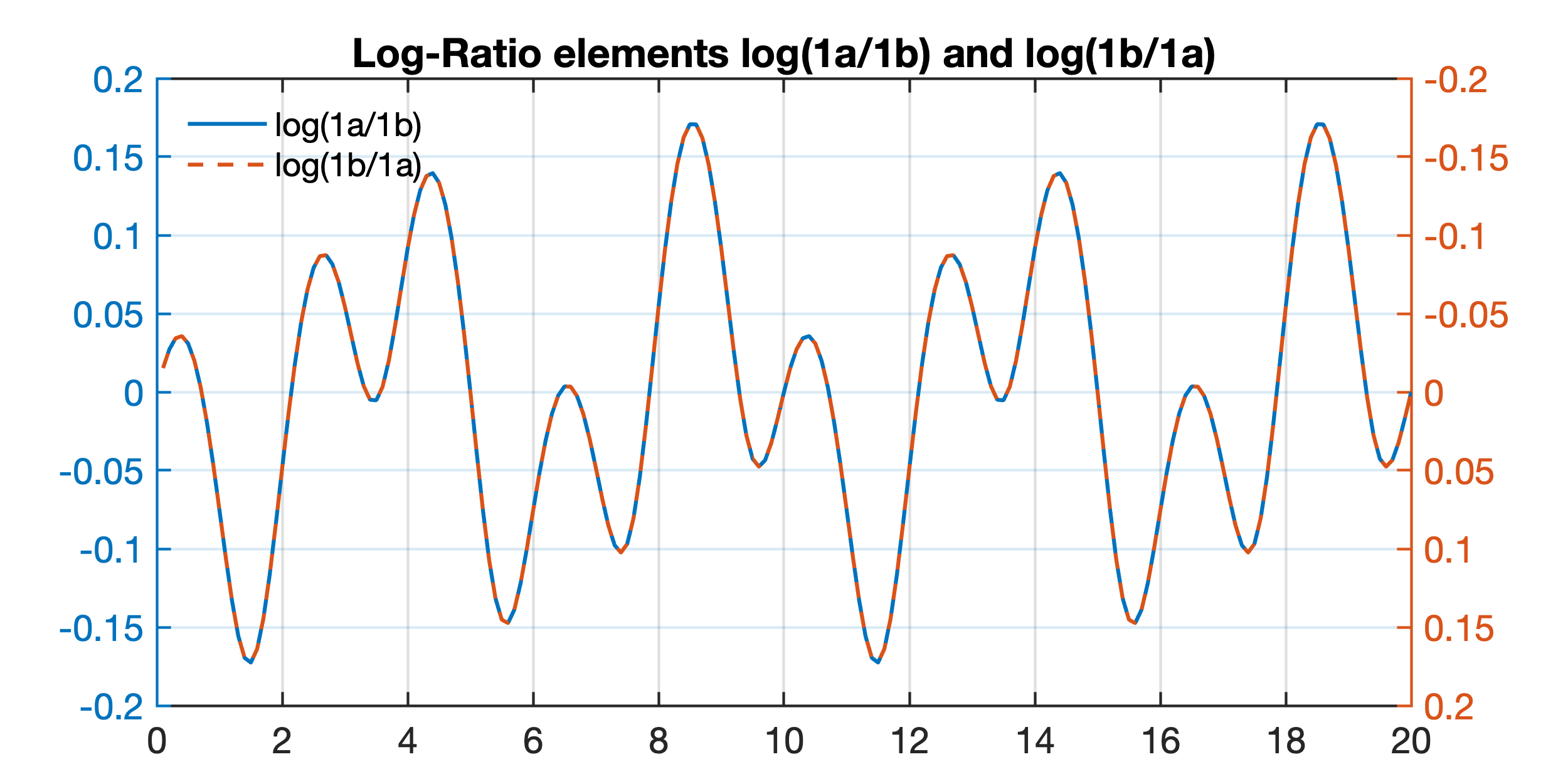
Anyone who has ever dealt with the statistical analysis of compositional data must have stumbled across John Aitchison’s (1926-2016) log-ratio transformation. The Scottish statistician spent much of his career on the statistics of such data, wrote the famous book “The Statistical Analysis of Compositional Data” (Aitchison, 1986, 2003) and multiple papers on the same topic, with associated MATLAB 5 software package CODA available from the author at the time of publication, updated versions now available for download at CoDAWeb. Aitchison’s log-ratio transformation overcomes the close-sum problem of closed data, i.e. data expressed as proportions and adding up to a fixed total such as 100 percent. The close-sum problem causes spurious negative correlations between pairs of variables that are avoided by logarithmizing ratios of the variables. Here is a simple MATLAB example illustrating the effect of Aitchison’s log-ratio transformation on compositional data. Continue reading “MATLAB Example to Illustrate John Aitchison’s Log-Ratio Transformation, Part 1”
MRES Exercise #10 Read Complex Text Files
The exercise helps students to understand how to read complex text files with MATLAB.
Continue reading “MRES Exercise #10 Read Complex Text Files”
MRES Exercise #9 Getting Started with MATLAB
This exercise helps students to get started with MATLAB. During the first part, the students are asked to go through the 2–3 online tutorial “MATLAB Onramp”, available online at the MATLAB Academy to get familiar with the MATLAB fundamentals. Second, the students are asked to obtain information on a specific MATLAB function from the documentation. And third, the students are asked to create a simple MATLAB function.
Continue reading “MRES Exercise #9 Getting Started with MATLAB”
46th and 47th Shortcourse on MRES in Potsdam
The spring courses on MATLAB Recipes for Earth Sciences in Potsdam will be held on 18–22 Februar 2019 (in English language) and 4–8 March 2019 (in German language). Continue reading “46th and 47th Shortcourse on MRES in Potsdam”
Public Lecture during the University of Potsdam Children’s University
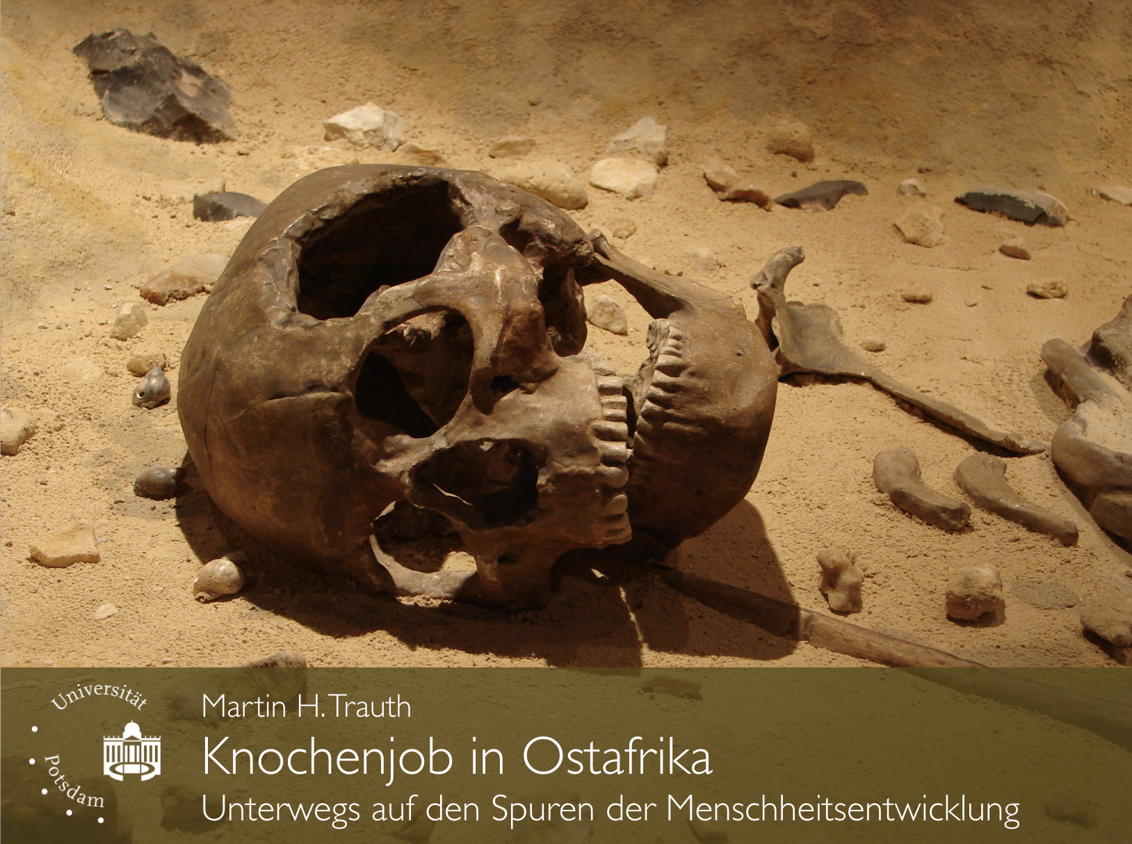
On September 28, 2018, the University of Potsdam will once again open its lecture halls for 8–10 year old children in order to inspire them for the world of science. During the event I will teach a lecture on “Knochenjob in Ostafrika – Unterwegs auf den Spuren der Menschheitsentwicklung” during the Children’s University Potsdam.
Lecture on Tectonics, Climate and Human Evolution
On 12 September at 11 a.m. I will teach a including the newest results from our Chew Bahir Project during Potsdam Summer School 2018. on “The skin of our planet – the Earth surface system”. In partnership with GeoX and the City of Potsdam, this summer school is organized by AWI, GFZ, IASS, PIK and U Potsdam. Continue reading “Lecture on Tectonics, Climate and Human Evolution”

