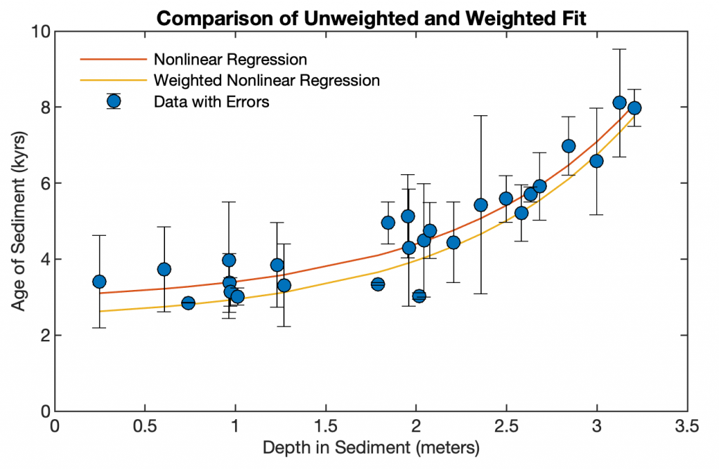
Sediment data is typically display in diagrams with two axes, a core depth axis and an age axis. Here is a MATLAB script to convert depths into ages and display a sediment parameter in a diagram with both age and depth axis. Continue reading “Displaying Sediment Records with both Age and Depth Axis with MATLAB”
Public Lecture during the University of Potsdam Children’s University
On September 28, 2018, the University of Potsdam will once again open its lecture halls for 8–10 year old children in order to inspire them for the world of science. During the event I will teach a lecture on “Knochenjob in Ostafrika – Unterwegs auf den Spuren der Menschheitsentwicklung” during the Children’s University Potsdam.
Lecture on Tectonics, Climate and Human Evolution
On 12 September at 11 a.m. I will teach a including the newest results from our Chew Bahir Project during Potsdam Summer School 2018. on “The skin of our planet – the Earth surface system”. In partnership with GeoX and the City of Potsdam, this summer school is organized by AWI, GFZ, IASS, PIK and U Potsdam. Continue reading “Lecture on Tectonics, Climate and Human Evolution”
Convolution of Distributions
Convolving distributions corresponds to adding independent random variables. MATLAB is a great tool to demonstrate the convolution of distributions. Continue reading “Convolution of Distributions”
Multispectral Cameras, Bayer Mosaics and Image Processing with MATLAB
When editing the images of the MAPIR Survey 2 NDVI camera, I learned a lot about how cameras actually capture and store images. The knowledge was important in order to properly import the images into MATLAB, process them and compute an NDVI image of them. If you do not do it right, you can see it immediately: You do not get a nice picture! Continue reading “Multispectral Cameras, Bayer Mosaics and Image Processing with MATLAB”
Which Vector Graphics Software do you Recommend to your Students?
The excellent graphics capabilities of MATLAB make it virtually unnecessary to edit graphics with vector graphics software (see blog post “Create Publishable Graphics with MATLAB“). Only very occasionally we need such software, for example to edit graphics that have not been created with MATLAB. Which both commercial and free software do you recommend your to students for this? Continue reading “Which Vector Graphics Software do you Recommend to your Students?”
Abrupt or Gradual? Change Point Analysis of the Late Pleistocene-Holocene Climate Record from Chew Bahir, Southern Ethiopia
Our newest work on past climate change in southern Ethiopia is out, using a MATLAB-based change point analysis to define the relative abruptness of climate transitions.
Download
Please use this link to download the data and the MATLAB code.
Reference
Trauth, M.H., Foerster, V., Junginger, A., Asrat, A., Lamb, H., Schaebitz, F. (2018) Abrupt or Gradual? Change Point Analysis of the Late Pleistocene-Holocene Climate Record from Chew Bahir, Southern Ethiopia. Quaternary Research, 90, 321-330.
Calculating NDVI Maps from Sentinel-2 Data with MATLAB
During our current summer school on Earth Surface Dynamics 2018 we learned how to calculate the Normalized Difference Vegetation Index (NDVI) from Sentinel-2 images. Here is a simple MATLAB script to import Sentinel-2 images and to calculate the NDVI. Continue reading “Calculating NDVI Maps from Sentinel-2 Data with MATLAB”