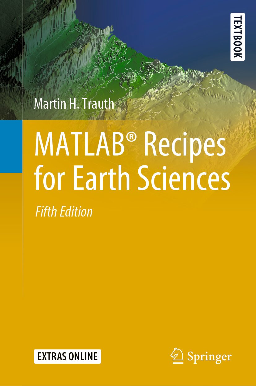
The book “MATLAB Recipes for Earth Sciences” (Springer, 2021) is ranked 10th (fall 2021) in the Top 100 out of more than 4,600 books in Earth Sciences, Geography & Environment of Springer. Thanks to all readers for buying the book!
Public Online Lecture during the University of Potsdam Children’s University
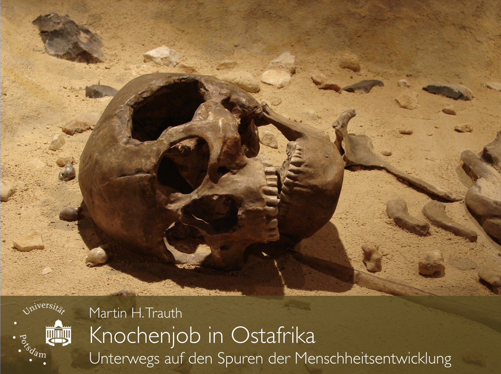
On 24 September 2021 the University of Potsdam will open virtual lecture halls for 1,250 children aged 8–10 in order to inspire them for the world of science. During the event I will teach a lecture on climate change and human evolution during the Children’s University Potsdam.
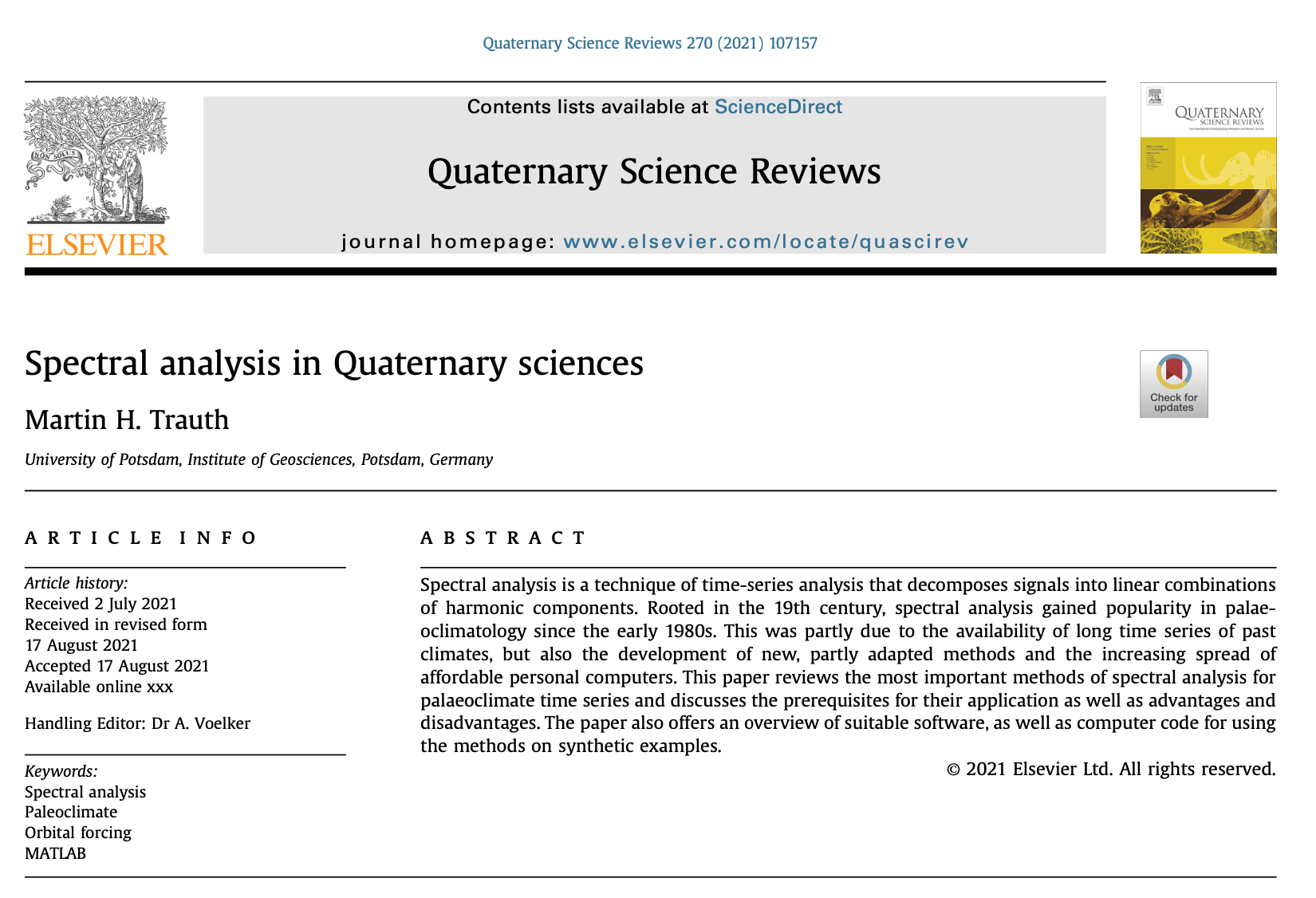
MATLAB Code of “Spectral analysis in Quaternary sciences” (Trauth, QSR 2021)
Here you find the MATLAB code and data of my paper “Spectral analysis in Quaternary sciences” published in the Elsevier journal Quaternary Science Reviews. Continue reading “MATLAB Code of “Spectral analysis in Quaternary sciences” (Trauth, QSR 2021)”
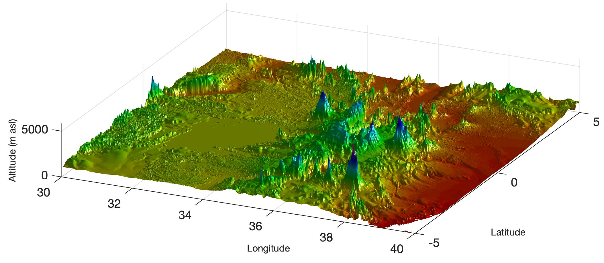
The 30 Arc-Second Elevation Model GTOPO30
The Global 30 Arc-Second Elevation Data (GTOPO30) is a 30 arc second (approximately 1 km) global digital elevation data set that contains only elevation data and no bathymetry. MathWorks announced that the gtopo30 function to read the data would be discontinued and that one should use the readgeoraster function instead. Here’s the updated recipe from Chapter 7 of the MRES book (Trauth, 2021). Continue reading “The 30 Arc-Second Elevation Model GTOPO30”
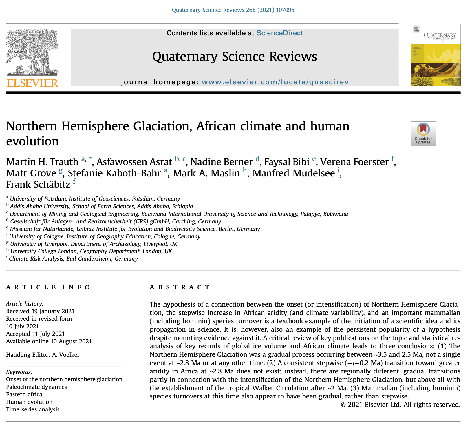
MATLAB Code of “Northern Hemisphere Glaciation …” (Trauth et al., QSR 2021)
Here you find the MATLAB code and data of our paper “Northern Hemisphere Glaciation, African Climate and Human Evolution” published in the Elsevier journal Quaternary Science Reviews.
Continue reading “MATLAB Code of “Northern Hemisphere Glaciation …” (Trauth et al., QSR 2021)”
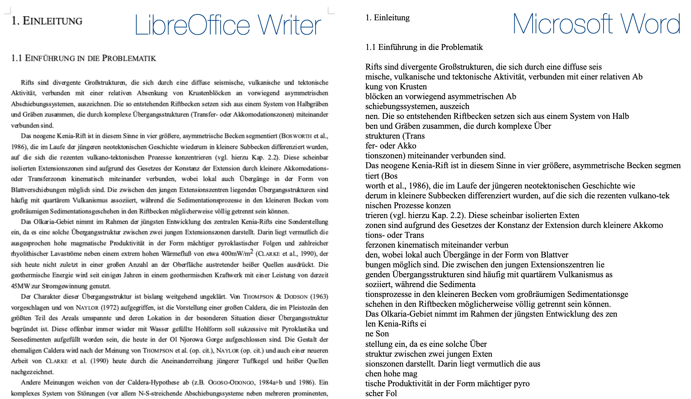
Is LibreOffice Writer the better Word?
The older you get as a scientist, the more you encounter the problem that old files can no longer be opened. This does not affect MATLAB code and data files as much as graphics or text files. In the case of text, it turns out that LibreOffice displays Word files from the 1990s correctly, while Word is unable to open files created by older versions of the same software.
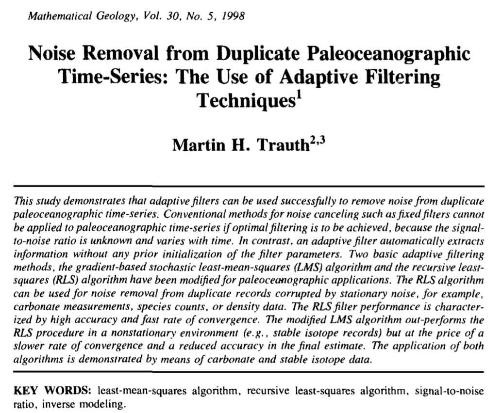
MATLAB Code of “Noise Removal from Duplicate Paleoceanographic Time-Series …” (Trauth, Math. Geol. 1998)
Here you find the MATLAB code and of my paper “Noise Removal from Duplicate Paleoceanographic Time-Series” published in the Elsevier journal Mathematical Geology. Continue reading “MATLAB Code of “Noise Removal from Duplicate Paleoceanographic Time-Series …” (Trauth, Math. Geol. 1998)”
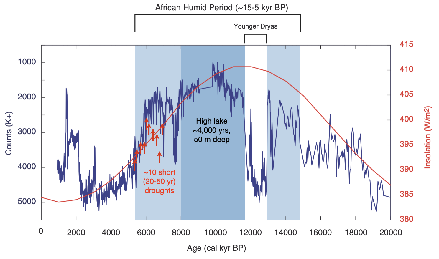
New Paper on Past abrupt changes, tipping points and cascading impacts in the Earth system
The climate time series from the Chew Bahir Basin in southern Ethiopia shows one of the best examples of climate tipping, the transition from one stable condition to another. About 5,500 years ago, the climate of East Africa tipped from humid conditions with extensive lakes and forests to a dry climate at the end of the so-called African Humid Period. Continue reading “New Paper on Past abrupt changes, tipping points and cascading impacts in the Earth system”

