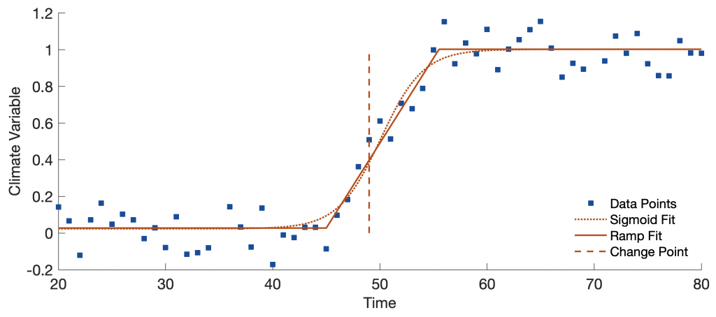
Statistics in Earth Sciences in 6 Steps

After 30 years of teaching statistical methods in the geosciences, I would like to give a few tips for our next generation. Back then, I was in awe of a term like chi-square test and kept my hands off it for a long time. However, I could not avoid complicated methods such as spectral analysis and filtering, because my doctoral project was about signal processing of paleoceanographic time series. Here we go. Continue reading “Statistics in Earth Sciences in 6 Steps”

Digitizing from the Screen – the Python Version

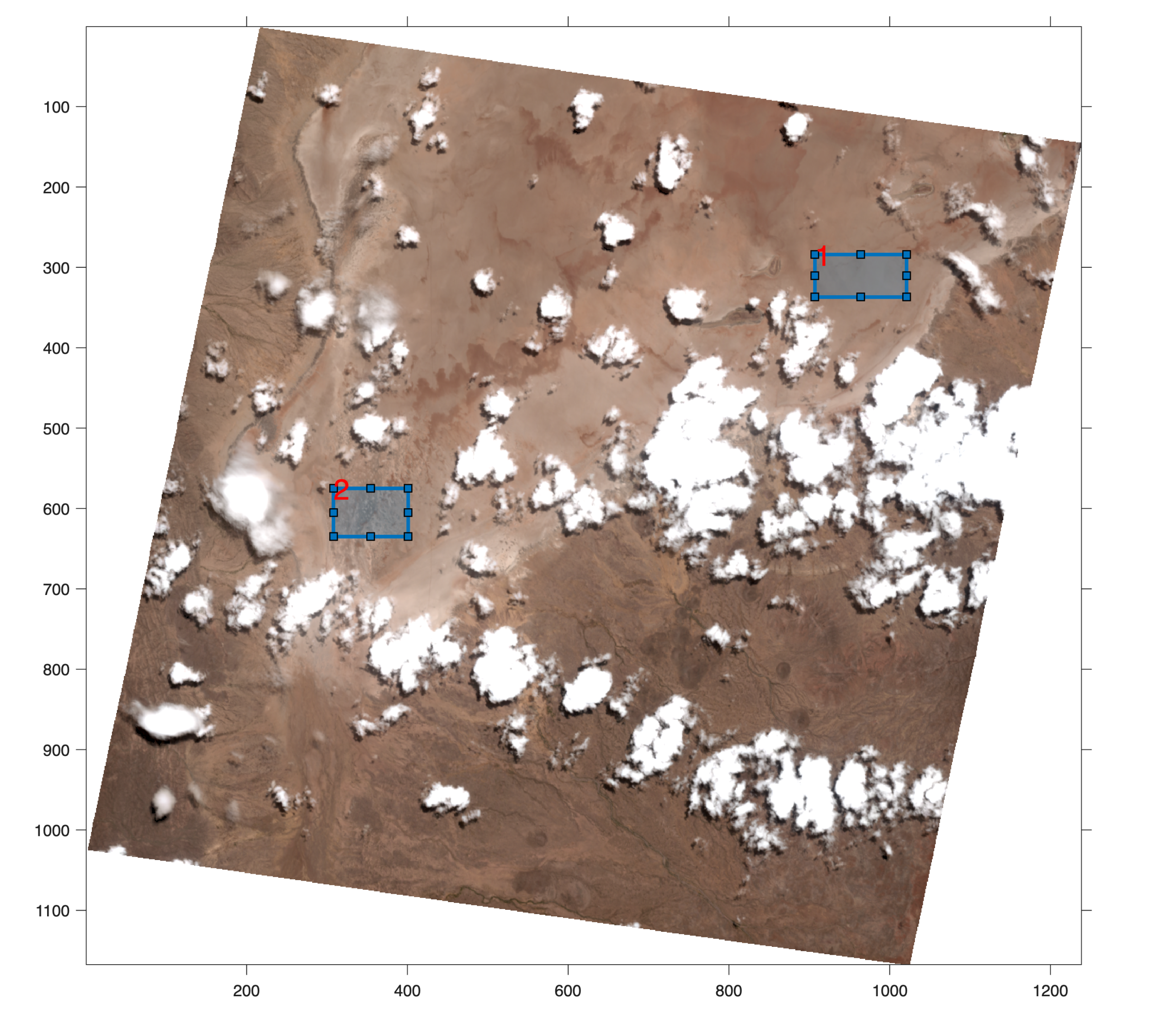
On-screen digitizing is a widely-used image processing technique. While practical digitizer tablets exist in all formats and sizes, most people prefer digitizing vector data from the screen. Examples of this type of application include the digitizing of river networks and catchment areas on topographic maps, of the outlines of lithologic units on geological maps, of landslide distributions on satellite images, and of mineral grain distributions in microscopic images. This chapter was not included in the first edition of PRES because of problems developing cross-platform Python code for digitizing images. These problems seem to be solved now, so a Python variant of minput can be presented here.

Continue reading “Digitizing from the Screen – the Python Version”