
Soon, the popular book MATLAB Recipes for Earth Sciences (MRES) will be available in a version for Python (PRES). You can then put both books side by side, like a dictionary, MATLAB to Python and back.
MATLAB and Python is used in a wide range of geoscientific applications, such as in processing images for remote sensing, in generating and processing digital elevation models, and in analyzing time series. The books introduce methods of data analysis in the geosciences using MATLAB and Python that include basic statistics for univariate, bivariate, and multivariate data sets, time series analysis, and signal processing; the analysis of spatial and directional data; and image analysis. The text includes numerous examples that demonstrate how MATLAB and Python can be used on data sets from the earth sciences. The supplementary electronic material (available online through Springer Link) contains the example data as well as recipes that include all the MATLAB and Python commands featured in the books.
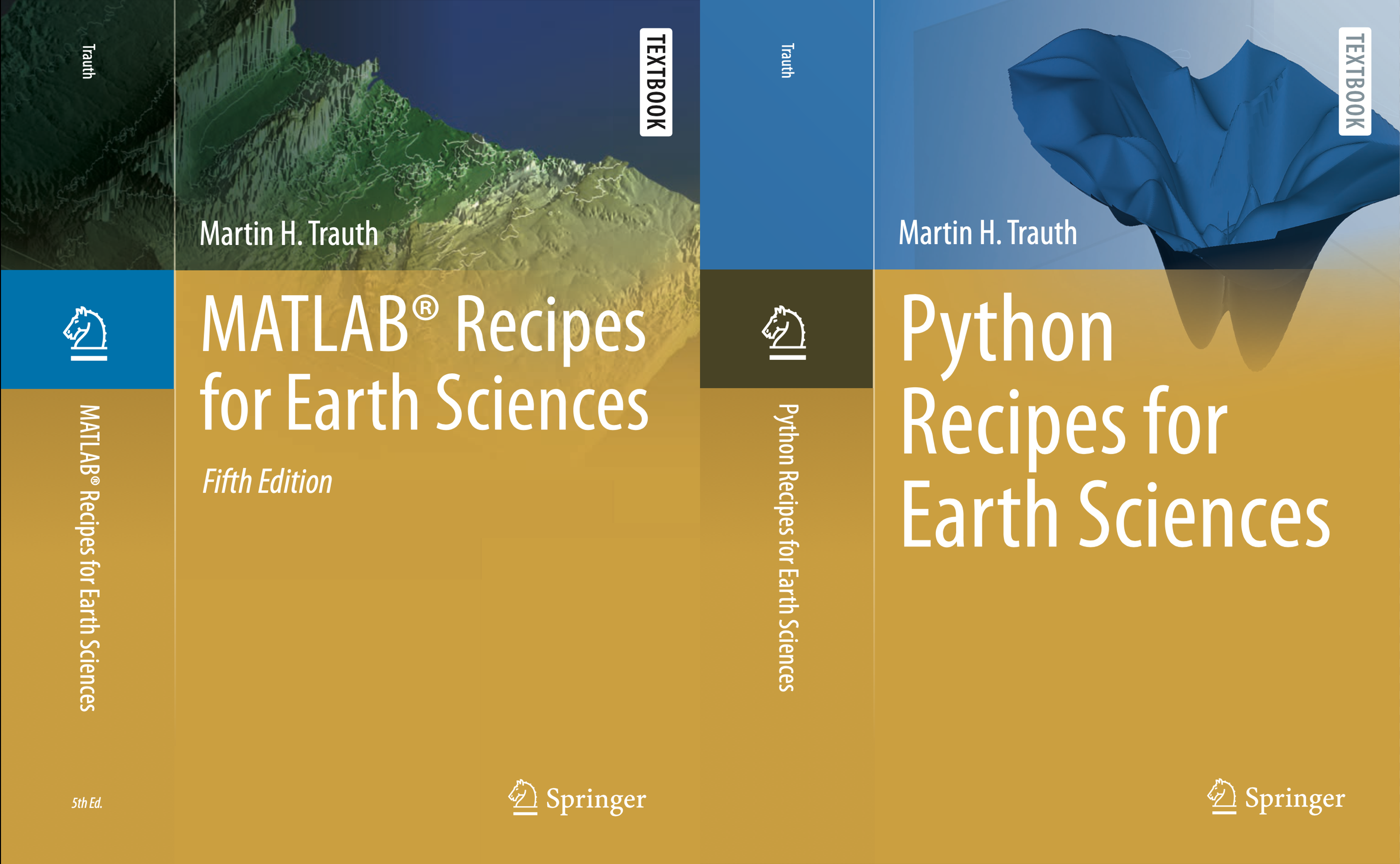
MATLAB Recipes for Earth Sciences, 5th Edition (Springer 2021)
Python Recipes for Earth Sciences (Springer 2022)
References
Trauth, M.H. (2021) MATLAB Recipes for Earth Sciences – Fifth Edition. Springer International Publishing, 517 p., Supplementary Electronic Material, Hardcover, ISBN: 978-3-030-38440-1. (MRES)
Trauth, M.H. (2022) Python Recipes for Earth Sciences – First Edition. Springer International Publishing, ~500 p., Supplementary Electronic Material, Hardcover, ISBN 978-3-031-07718-0. (PRES)