
The paperchase exercise is intended to help students to understand how to use sensors of mobile devices connected to a server via MATLAB Mobile. We used a laptop in the classroom, connected to the internet via WiFi, and a smartphone, connected to the internet via mobile internet connection.
The exercise, designed together with remote sensing master student Lisa Krüger, shows the usual workflow during the establishment of a network between a mobile device such as a smartphone, a drone or a robot with multiple sensors such as a GPS sensor.
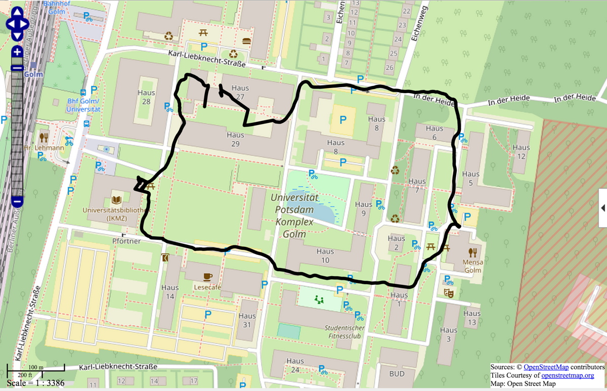
As part of the exercise, the students got the first location of the paperchase on campus, which was the canteen of the university. There they could ask the cashier about the next coordinates and a password. The last location was the cafeteria of the university library, where the students received a free coffee if they knew the password.
While walking through the university campus, the mobile device was sending GPS coordinates to the computer in the classroom every five seconds. After the students returned to the classroom they stopped logging the coordinates and display the path they walked using the OpenStreetMap plugin contained in the Mapping Toolbox.