Importing, Processing and Exporting LANDSAT Images with MATLAB
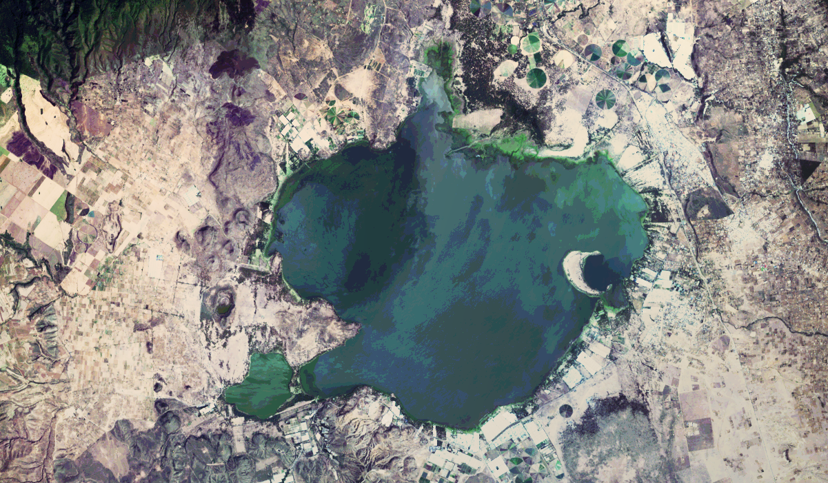
MATLAB is now a widely used tool in satellite remote sensing. Here is an example of importing, processing, and exporting freely-available Landsat images of Lake Naivasha in the Central Kenya Rift. Continue reading “Importing, Processing and Exporting LANDSAT Images with MATLAB”