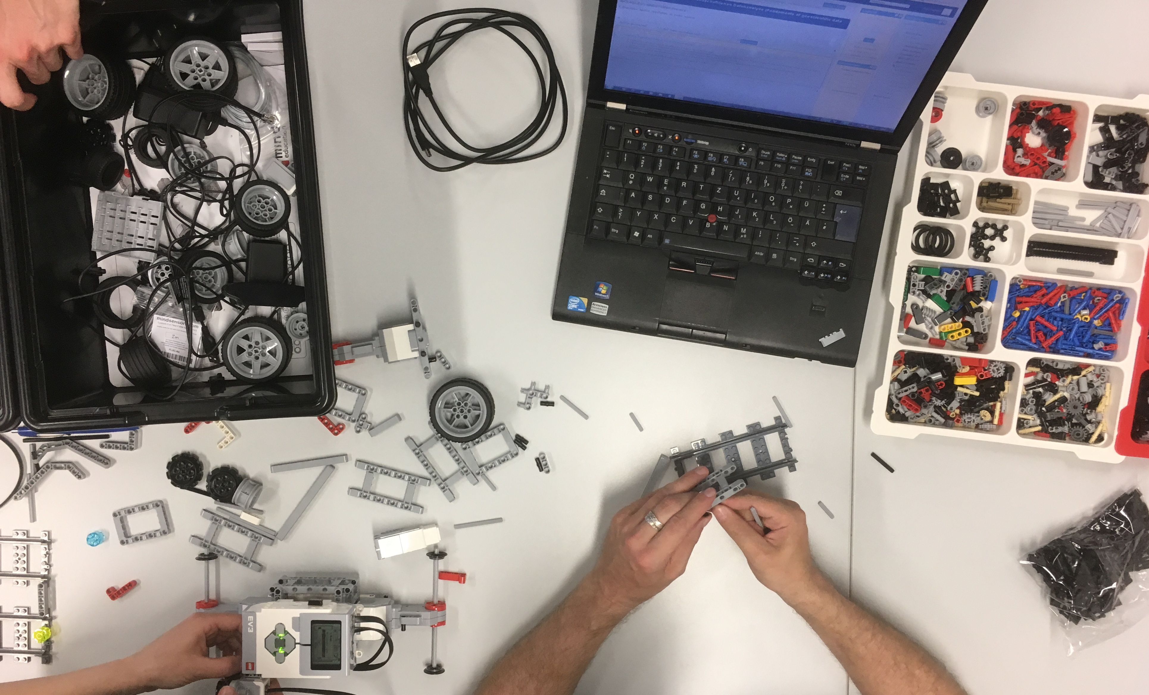
Last Friday we completed the MATLAB/LEGO MINDSTORMS Environmental Remote Sensing. The course for undergraduate and graduate students aims to improve their skills to build efficient teams to solve typical problems in earth sciences in acquiring, processing and analyzing typical multispectral, geophysical and geometric data. The practical was a great success, and a lot of fun!
Twenty students from the geosciences, computational sciences, geoinformatics, (geo) ecology and other subjects built LEGO MINDSTORMS vehicles, programmed with MATLAB, to scan objects with different sensors, to calculate the spatial resolution of the sensors and accuracy of the results and to display the data in publishable graphics.

