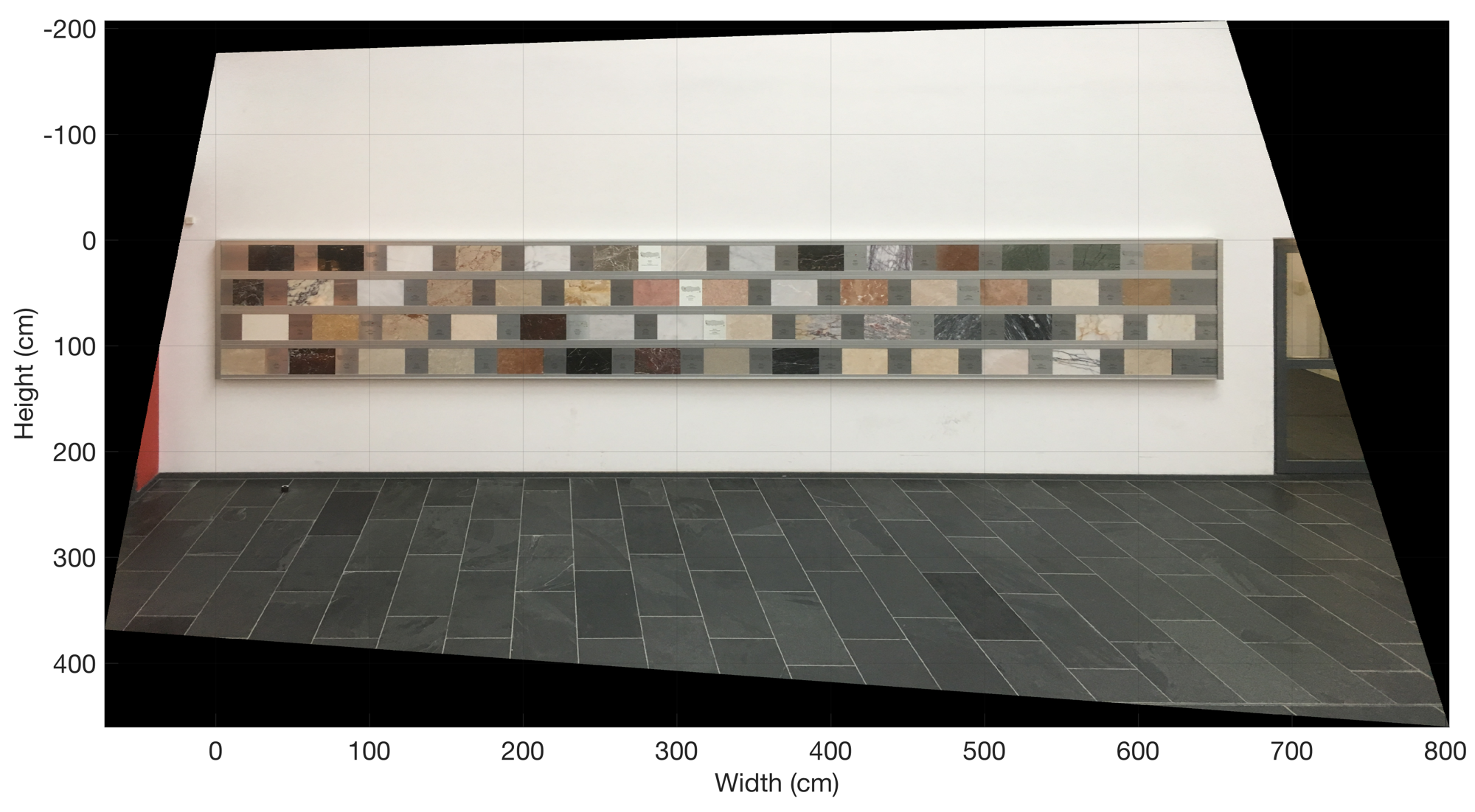
This exercise is intended to help students to understand how rectify and reference images using MATLAB. Possible applications are outcrop images (with a scale), aerial and satellite images (with reference points).
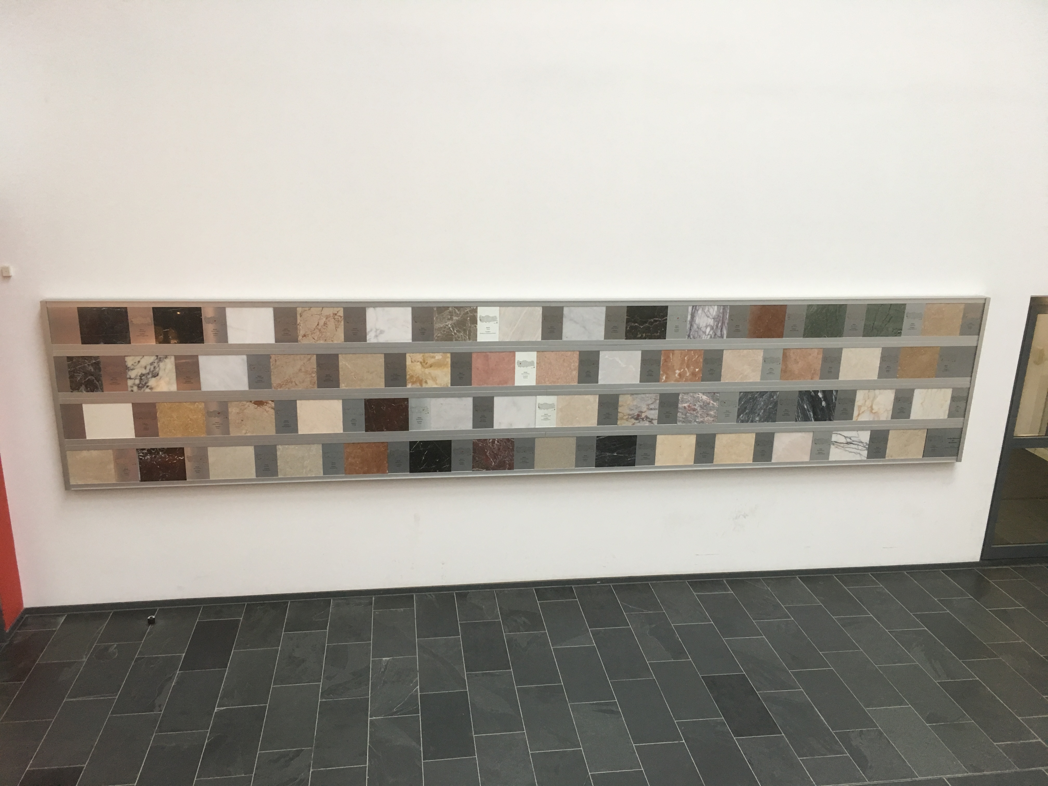
The script of Chapter 8.5 of the MRES book can be easily modified to rectify and reference images, such as outcrop photos or the photo taken of a rock exhibition in our departmental building at the U Potsdam. In our example, the image was taken with the camera of a recent mobile phone. Then the width and height of the display of rock plates was determined, in our example 656 cm and 131 cm. We use functions contained in the Image Processing Toolbox to rectify and reference the image. Here the old function imtransform, described in the 1st to 3rd edition of MRES, has been replaced by the function imwarp, explained in the 4th edition of MRES.